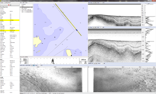
MDCS is a software package for survey planning, real-time mission support and data collection. It is specifically designed to support bathymetric and marine geophysical surveys.
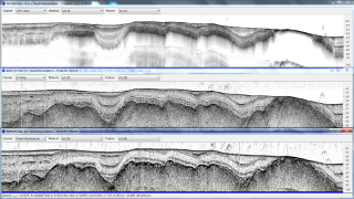
MDCS can interface with a wide variety of survey equipment and sensors, and supports concurrent acquisition of bathymetry, marine seismic and side-scan sonar data.
Survey planning
MDCS contains graphical tools for survey plan management (i.e., background chart information, definition of survey areas and survey lines).
Survey data acquisition
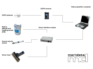
The survey software also allows management of environmental data (tide, sound velocities), as well as acquisition and logging of the observations from external systems such as:
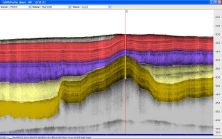
- sub-bottom profilers
- seismic reflection profiling systems
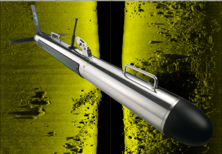
- side-scan sonars
- marine magnetometers
- bathymetric echo sounders
- positioning systems
- motion, attitude and heading reference systems
MDCS is being used around the world with a wide variety of survey equipment configurations, and additional instruments interface easily with the system.
Real-time survey support
MDCS provides support for vessel steering and survey quality control.
Through MDCS, the surveyor is also provided with unique capabilities to control and monitor the sonar system. Depending on the type of the survey, different real-time presentations of the sonar data are available.
Operating platform
The MDCS real-time survey software runs on both stand-alone and multiple networked PCs with Windows 7, Windows 8.1 or Windows 10 operating system.



Leave A Comment